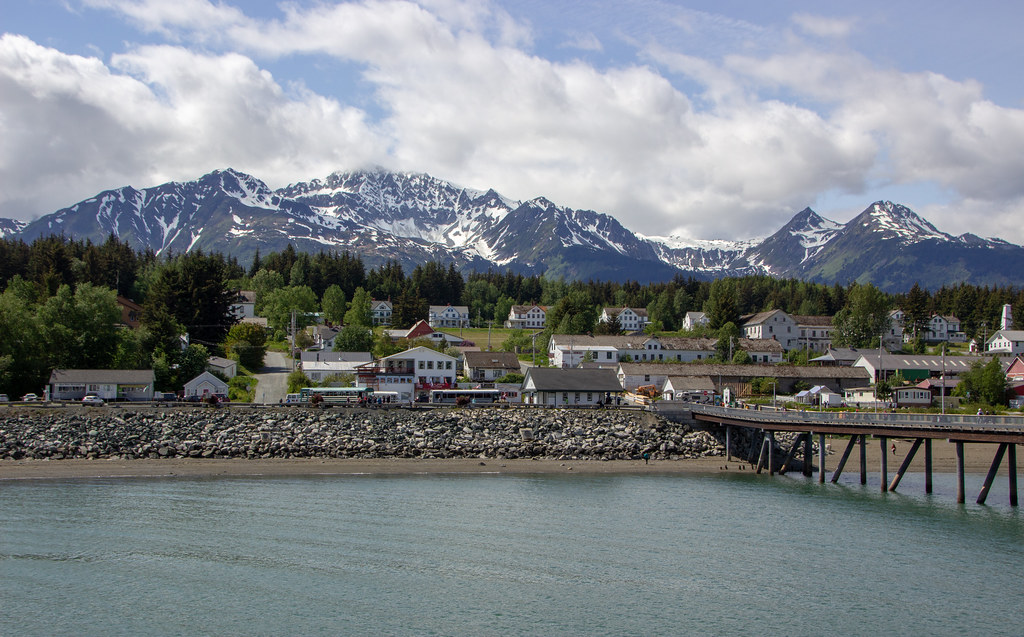
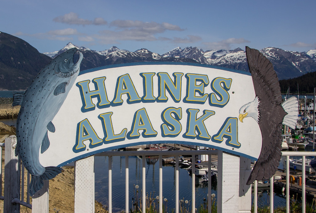
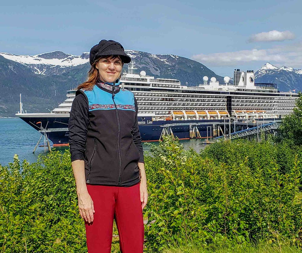
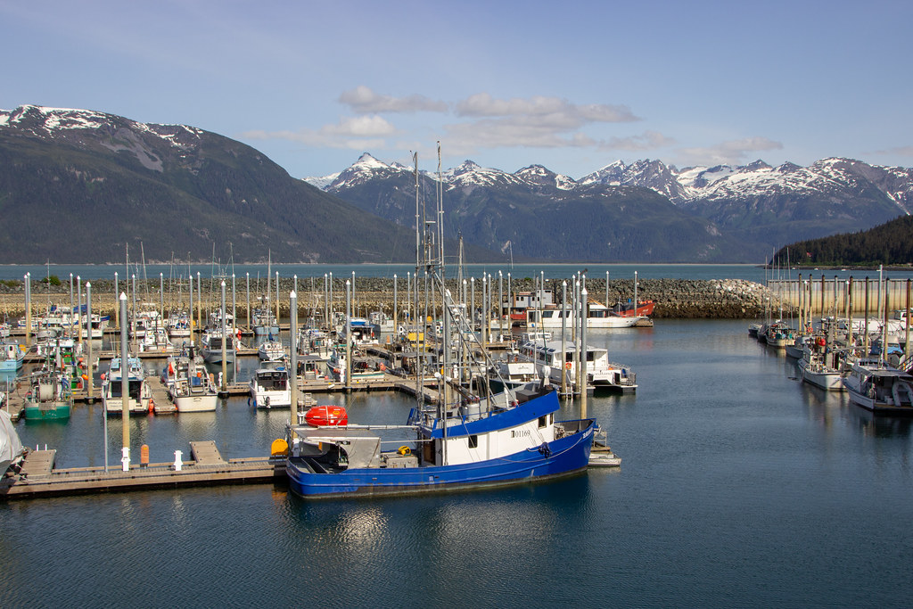
Nestled in the Inside Passage is the hidden gem, Haines the essence of wild Alaska. It’s not as well-known as many Alaskan ports and can be a wonderful getaway for that very reason, with its beautiful fjords, harbor, mountains, river, lakes and less crowds. After visiting this port numerous times, here’s what I discovered about the Haines Alaska highlights.
The picturesque port of call, Haines is on the northern part of the Inside Passage and also referred to as “Gateway to the Chilkat Pass.” This mountain pass is reached by Haines Highway. It was the route of the Dalton Trail during the Klondike Gold Rush days with Haines as a supply center. This pass also is the boundary between the Coast and Saint Elias Mountains. The name Chilkat comes from a subgroup of the Tliingit people.
Haines Alaska Highlights Walking Tour
One of the best days of my life I spent on a sunny day in Haines, just wandering. The scenery all around is stunning with the sparkling harbor, mountains, wildflowers, parks and museums. I always start my day in Haines downtown at the Rusty Compass Café. They serve wonderful espresso, along with rich pastries and homemade soups. It’s usually crowded but worth the wait.
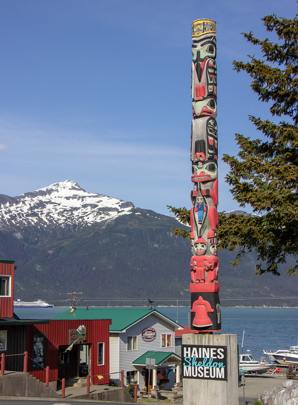
Haines has a number of cultural centers. Alaska Indian Arts offers demonstrations by traditional craftsmen. History of the town of Haines and the local Tlingit people are featured in the Sheldon Museum & Cultural Center.
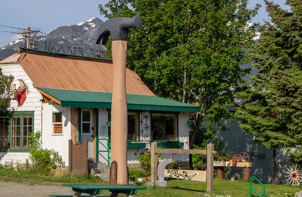
The one-of-a-kind Hammer Museum is dedicated to the history of the hammer in human society. The Tsirku Canning Company Museum offers a glimpse of Haines’ historic salmon canneries.
Walking along the harbor by the fishing boats is refreshing. I enjoyed exploring the old army base, Fort William H. Seward. During WWII, it was a supply center for some U.S. activities. Since then, the fort was deactivated and used for other services.
Chilkoot River Flora and Fauna
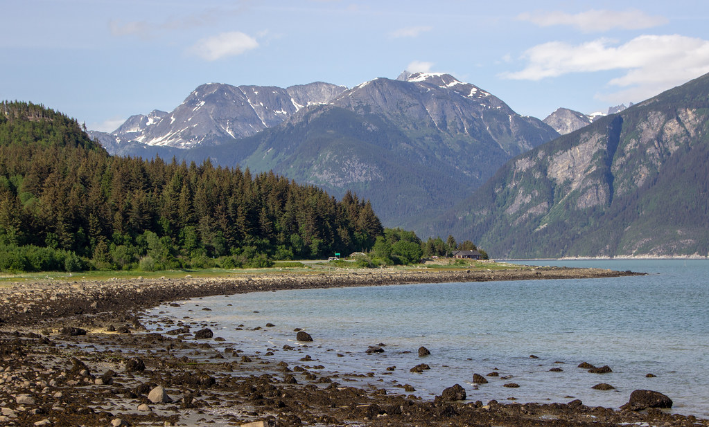
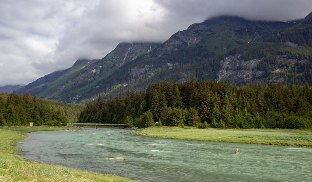
The beautiful fjords, carved by glaciers eons ago, guide you through the northern Inside Passage to Haines. From Haines, the estuary becomes the Chilkoot River, flowing eventually to the Lake as a biodiversity hotspot. I did a Naturalist Tour with a local guide to the Chilkoot River and Lake, where I learned a lot about the flora and fauna of the region. Chilkoot is a Tlingit phrase which means without a storehouse. The Chilkoot people stored fish packed in snow between alder or willow branches, instead of in storehouses.
The Upper Chilkoot River originates from a glacier and flows for 16 miles (26 km). Five species of Pacific salmon occur in the Chilkat River system: pink, chum, coho, sockeye, and king. A unique phenomenon evolved, in that the chum salmon make a late fall run up the river.
From October – February, the Alaska Chilkat Bald Eagle Preserve attracts the largest concentration of bald eagles in the world. 200 to 400 birds live there year-round, with up to 4,000 observed during the autumn. The Haines Highway from miles 12–18 (km 19–29) is a popular viewing location.
I enjoyed a very informative Tour with a Naturalist Guide on the Chilkoot River. The beautiful lush mountainsides paints wonderful stories. Our guide informed that the light green patches are the avalanche paths, with the Alder Trees. These trees are flexible, giving way for the snow in avalanches.
In comparison, the dark green patches are populated with the Spruces. These trees are more rigid blocking the snow. Interestingly, this is where the bear is more likely to build their dens on the solid surface.
Chilkoot Lake State Recreation Area
Chilkoot Lake State Recreation Site is at the south end of Chilkoot Lake, near the outlet to the Chilkoot River. The campground sits amidst pristine Sitka spruce forests. The park and surrounding area offer some of the best salmon fishing in Southeast Alaska, with four salmon runs, starting in mid-June and ending in mid-October. Because of the salmon spawning in the river and at this end of the lake, this area is also a bear highway. Bears frequent the river to feast on the salmon.
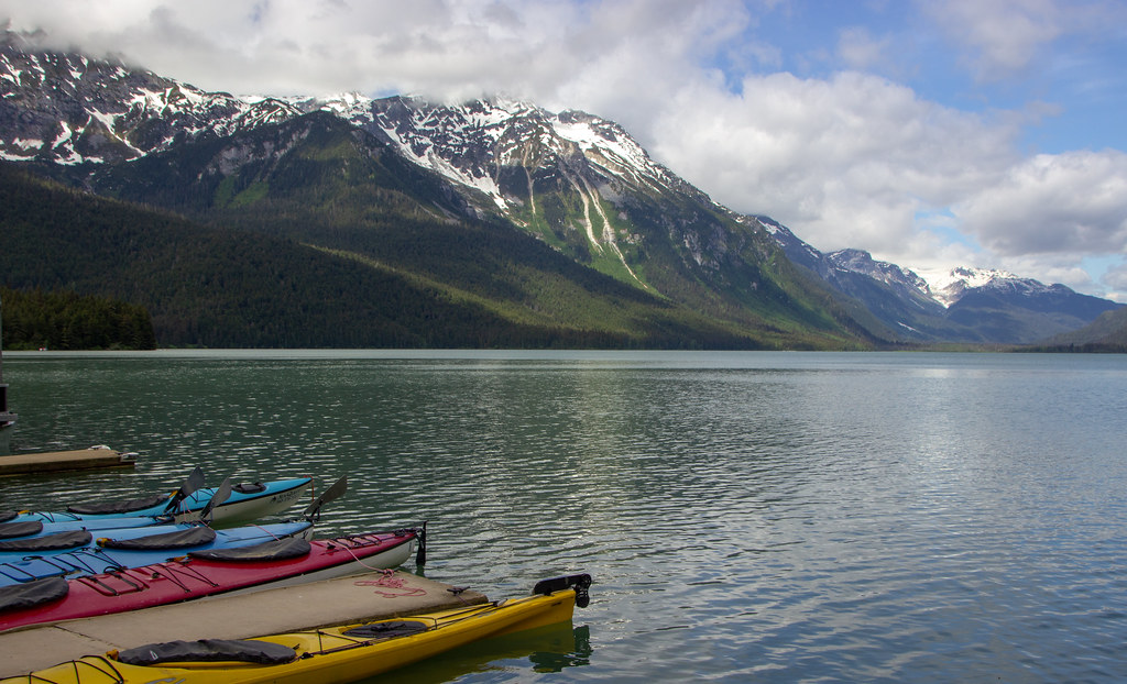
The Chilkoot Lake is about 3.6 miles (6 km) long, and about 1 mile (2 km) in width and maximum depth of water in the lake is about 300 feet (90 m). It is located at the foot of the Takshanuk Mountains to the west and the Freebee glacier and unnamed mountains to the east. It has been declared as navigable. The lake is in the upper part of the Chilkoot Watershed that spans 100 square miles (260 km2) of land 20 miles (32 km) in length and 5 miles (8.0 km) in width.
The recreational area is spread over an area of 80 acres (32 ha) and has camping grounds, picnic shelters and also a boat launching facility. This is a popular site for hiking, fishing and kayaking on the clear, glacially fed turquoise waters. In the winter months, this lake freezes over and is popular for ice skating.
Overall, Haines Alaska Highlights
The Haines borough is a spectacular venue for getting to the essence of wild Alaska without the crowds. There are day trips from Skagway to get a glimpse. However, with all the splendor this region has to offer, Haines is worth a stay to truly experience its community, river, lake, mountains, wildlife and fjords.
Read More!
Skagway, Alaska’s Wonderful Attractions – Gateway to Klondike Goldrush
Incredible Ketchikan’s Best 10 Things to Do


